
The National Hurricane Center’s website (nhc.noaa.gov) is the ultimate in official sources for storm information. Its graphics have become very familiar, especially when storms threaten Florida or Osceola County.
The NHC is updating or changing a few of its products to better illustrate and explain the potential storm threats. Here’s a couple that will be of most use to us in Central Florida:
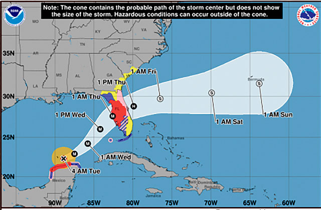
Cone Graphic with a depiction of inland tropical storm and hurricane watches and warnings for the United States becomes operational. The NHC will implement a new version of the cone graphic that includes a depiction of all land-based (coastal and inland) tropical storm and hurricane watches and warnings in effect for the continental United States, Puerto Rico, and the U.S. Virgin Islands. This version of the cone graphic went through an experimental phase during the 2024 and 2025 hurricane seasons and replaces the version that only depicted coastal U.S. tropical storm and hurricane watches and warnings.
Per the NHC, user feedback showed strong support for the addition of inland watches and warnings. In addition, recommendations from social science research suggest that the addition of inland watches and warnings to the cone graphic helps communicate wind risk along a storm’s inland path while not overcomplicating the graphic.
Annual update to the track forecast error cone. The size of the tropical cyclone track forecast error cone for the Atlantic basin in 2026 will be about 4–8% smaller as compared to 2025. The cone represents the probable track of the center of a tropical cyclone, and is formed by enclosing the area swept out by a set of imaginary circles placed along the forecast track (at 12, 24, 36 hours, etc.). The size of each circle is set so that two-thirds of historical official forecast errors over the previous five years (2021-2025) fall within the circle. The experimental cone will be constructed by drawing a line around ellipses anchored at each NHC forecast point.
An NHC mobile device. A version of its website (hurricanes.gov) will be mobile friendly and more accessible. As a first step, a refreshed version of the front page of the NHC website will be hosted on NHC’s mobile URL (https://www.nhc.noaa.gov/mobile/) around the beginning of the 2026 hurricane season. This version will work on mobile, tablet, and desktop devices.