The word of the month of June in the 2022 Atlantic hurricane season has been … potential.
The two named storms to form in June spent time as “Potential Tropical Cyclones,” a rather new designation by the National Hurricane Center for storms that are expected to reach tropical storm strength before making a landfall, but lack a closed circulation at that time. The PTC status makes it possible for the NHC to start issuing advisories for a storm … that’s gonna be a storm … but isn’t a storm yet.
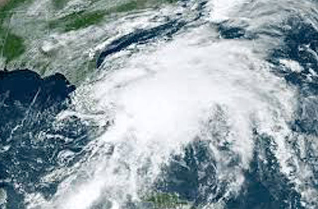
Southern Florida experienced one of those “tropical blobs” on June 5. Potential Tropical Cyclone 1 was expected to arrive from the Yucatan Peninsula as Tropical Storm Alex. It didn’t get named until it was hundreds of miles east of Florida on the 6th, but it caused flash flooding in Mexico and Cuba. In Florida, Naples received nine inches of rain, and parts of Miami saw 11 inches of rain from PTC 1, prompting officials in parts of that city to ask residents to heed a voluntary curfew, as there were more vehicles stuck in floodwaters than available responders. It showed the weather power of a tropical system that doesn’t even reach named status.
Three weeks later, PTC 2 approached Grenada and the ‘ABC’ islands of the southern Caribbean and northern Venezuela before becoming Tropical Storm Bonnie on its approach to Nicaragua. It generated from a tropical wave that came off the coast of Africa days before – something more akin to the height of the season than in June.
“A named storm forming in the main development region in June or July is typically a harbinger of an active season, as it shows the atmosphere and ocean conducive for activity,” said tropical weather expert Jeff Masters in his Yale Climate Connections blog last week.
So that’s two named storms in June. The acclaimed hurricane research specialists at Colorado State University predicted a very-high 20 named storms for the season, which runs through November 30.
So how is it supposed to go from two to 20 in just a few months?
The simple answer: August and September.
Those months are the height of the hurricane season – the ocean waters are warmers, hindering trade winds are lighter, and the waves coming off Africa, the seed of many Atlantic storms, emerge into the sea every three to five days.
A total of 14 named storms formed in August and September in both the 2020 and 2021 seasons – seasons that reached the ‘D’ storm by the end of June.
So the lesson is this: there’s plenty of time – and plenty of potential – for major hurricanes to form this season, so Central Floridians should do what they always (or should) do.
Stay prepared. Have supplies, a kit, and a plan.