
"It's Florida; don't like the weather? Wait 15 minutes and you may get something you like."
After a chilly weekend gave way to a mild Monday, the wacky weather wheel will be a spinnin' again the rest of this week.
A cold front will makes its way through our area during the day on Wednesday, which should bring a line of storms during the afternoon. Isolated storms will be capable of occasional lightning strikes and wind gusts up to 40-50 mph, per the National Weather Service in Melbourne.
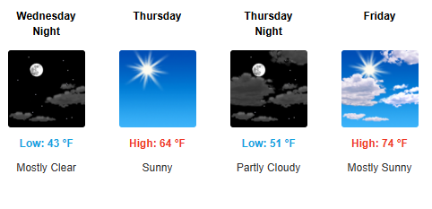
Cold temperatures return Thursday morning behind the front. Morning lows in lows 40s are forecast, and high temperatures will struggle to reach the mid 60s despite sunny skies. This chill will last through the end of the week, when a slow warmup will begin over the weekend with high returning to the mid-70s.
So, Osceolans, heed the forecasts, dress for the weather, have a great pre-holiday week!