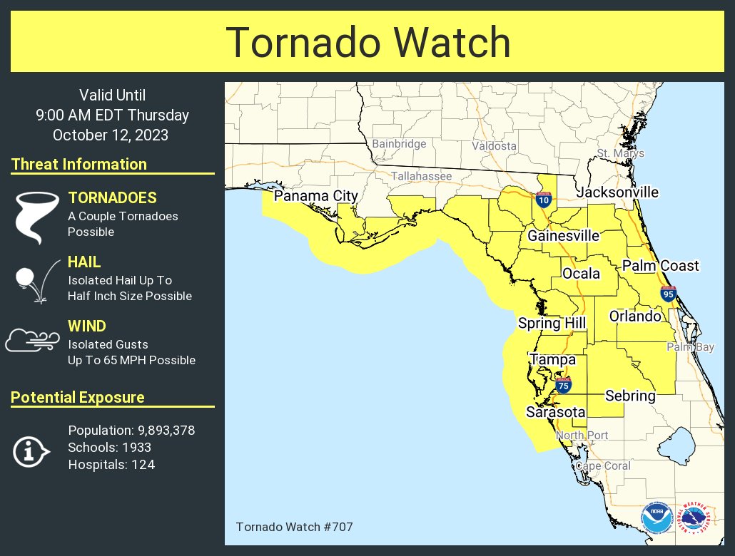
THURSDAY 2 A.M UPDATE -- Osceola County is part of a Tornado Watch that covers all of Central Florida (minus Brevard County) until 9 a.m., as a complex of thunderstorms connected to a non-tropical low pressure system in the Gulf of Mexico is producing storms that could produce small and short-lived tornadoes.
Per the National Weather Service in Melbourne: "It appears the potential for a few severe storms will generally increase overnight into the morning with the highest potential north of a Melbourne to Lake Kissimmee line."
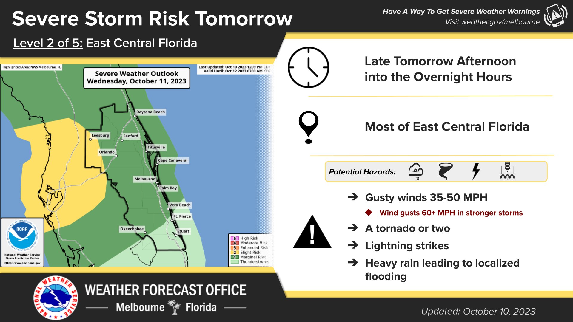
"Showers and lightning storms will increase in coverage overnight as a warm front lifts north across Florida. The primary storm hazards will be wind gusts to 50mph with isolated damaging wind gusts up to 60mph, repeated rounds of heavy rainfall leading to localized flooding, and frequent lightning strikes. An additional threat for a few tornadoes exists tonight into the early morning hours. While these hazards exist across all of east central Florida tonight, the greatest hazards are generally expected north of a line from Lake Kissimmee to Melbourne."
WEDNESDAY, 7 A.M. -- You'll want to watch the weather in Osceola County on Wednesday, particularly into the late afternoon and early evening through midday Thursday.
A low pressure system in the western Gulf will move northeast toward the Florida Panhandle today. That, combined with an old front moving north as a warm front will cause enough atmospheric instability to kick off thunderstorms that could have frequent lightning, gusty winds, small hail and the outside possibility of an isolated tornado.
From the National Weather Service in Melbourne: "Coverage of lightning storms will increase across east central Florida through the day, with the highest chances during the evening and overnight. Some storms could become strong to severe, capable of wind gusts to 50 mph and isolated damaging gusts to 60 mph, frequent cloud to ground lightning, and heavy downpours."
Prior to the Wednesday storms, expect sticky, humid conditions as highs should reach into the mid-80s.