A tropical wave that's still near the African Coast and the Cabo Verde Islands will make its way across the Atlantic, and has a medium chance of developing into a system in the next seven days, according to the National Hurricane Center.
"Environmental conditions appear to be conducive for gradual development, and a tropical depression could form during the early to middle portions of next week while the system moves westward at 15 to 20 mph across the eastern and central tropical Atlantic," is the update from the NHC, which gives it a 60 percent chance of formation.
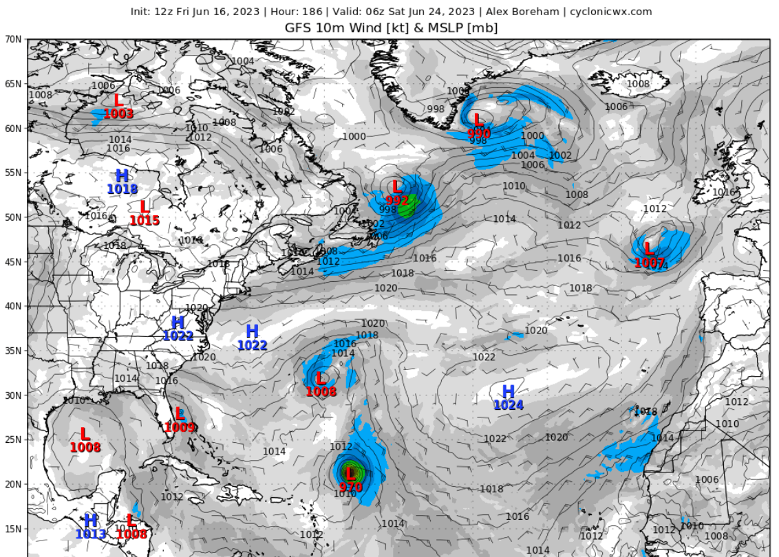
Long range storm models, like the GFS, which go out as far as 16 days, actually pick up well on this storm, and bring a robust low pressure disturbance with a central pressure of 971 millibars -- about a Category 2 hurricane with 100 mph winds -- northeast of the Lesser Antilles by this time next week.
So, should we be alarmed? If you follow the GFS the answer is: probably not.
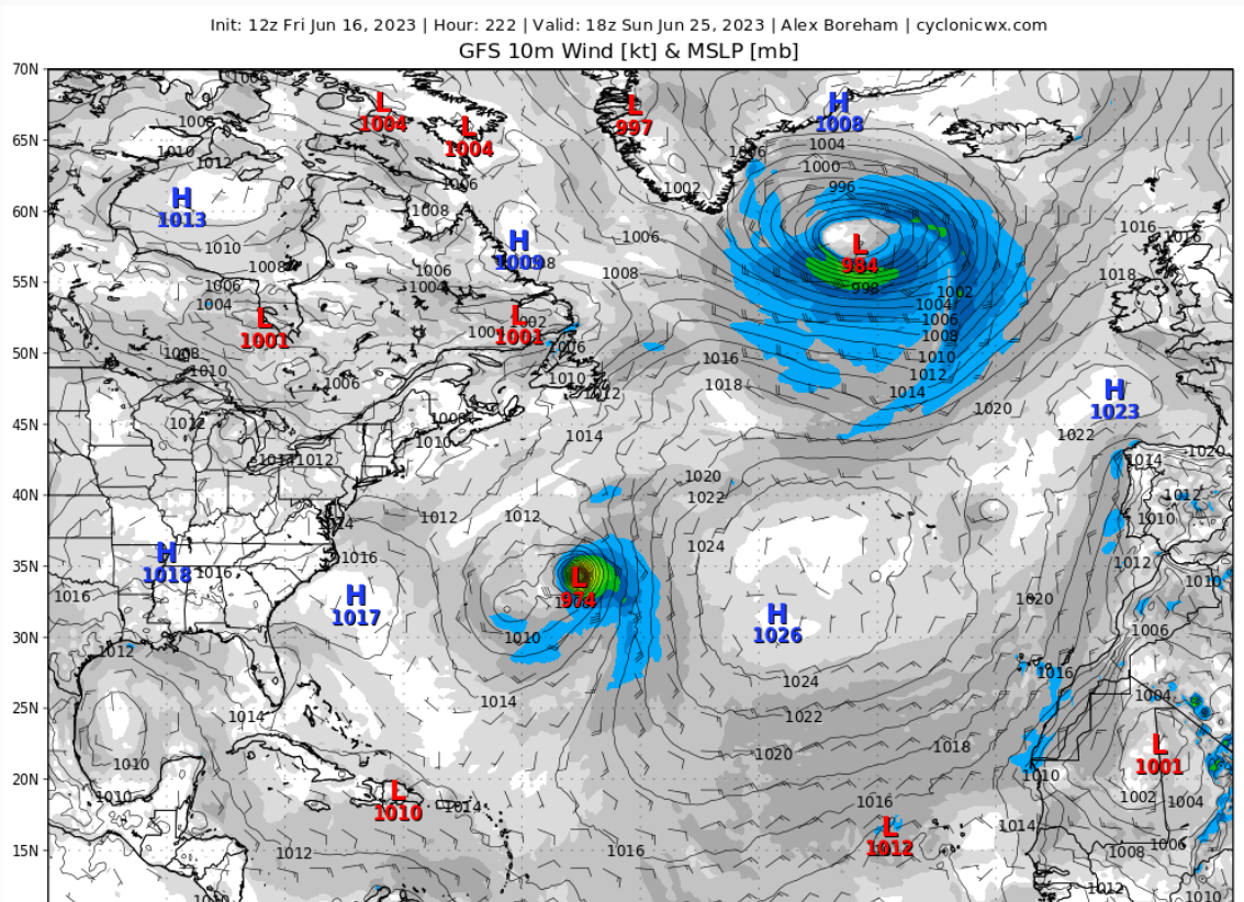
That same hurricane model, one of the ones in a cluster used by the NHC to forecast storms, has it curving north harmlessly into the Atlantic three days after that, never mattering more than some high waves in Puerto Rico and the Virgin Islands. To steal a line from WKMG meteorologist Tom Terry, "It's interesting, but not important."
The seven-day model actually shows a potential storm system -- less tropical and just more rain -- possibly affecting Florida that day -- something we should be more concerned with. But something to keep in mind: even five-day forecasts have large errors, seven-day ones often larger errors, and anything beyond 10 days is usually just for entertainment.
Either way, we will keep you updated here at the News-Gazette Storm Center, should a tropical system begin to threaten Florida -- eventually.