
Ever wonder "What are they building there?" or "What's going in that vacant building?" Thanks to the City of St. Cloud, residents now have an online tool to answer those questions.
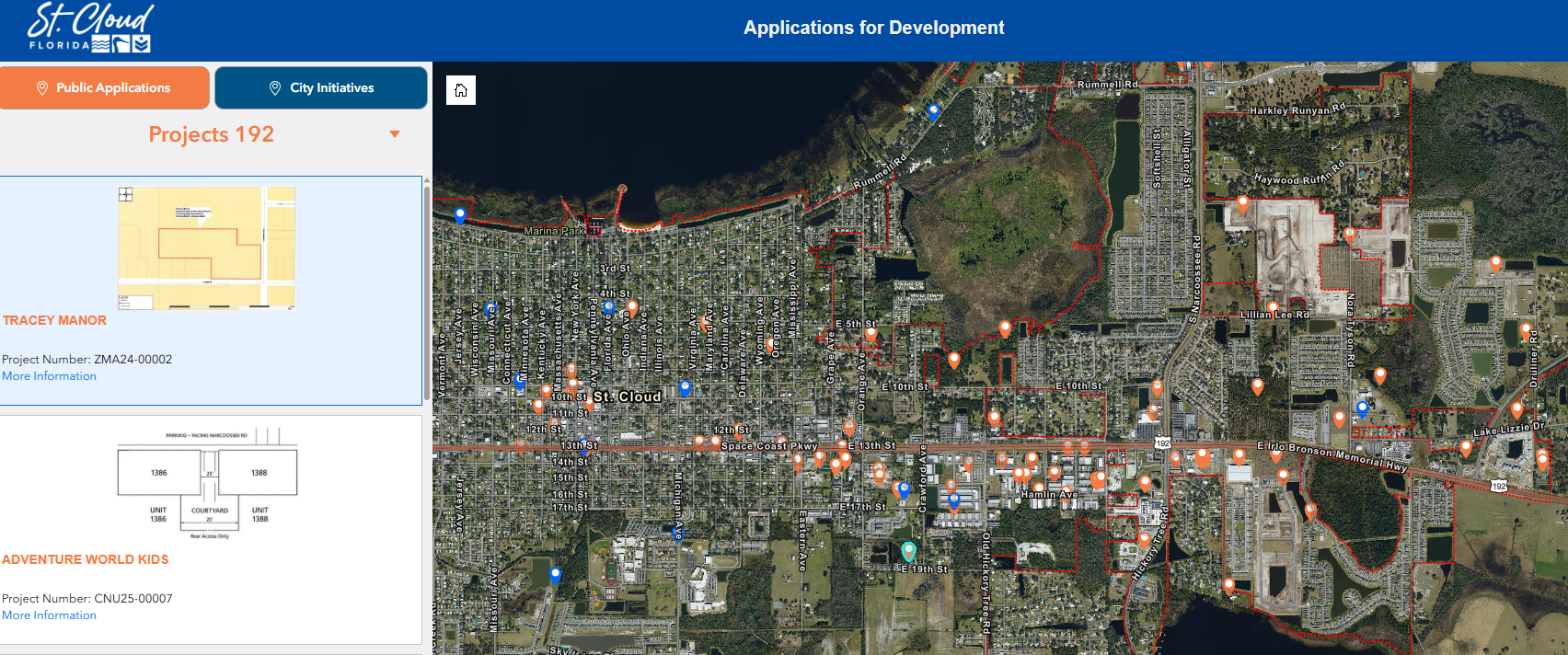
The interactive Development Applications Map (https://www.stcloudfl.gov/2355/Development-Applications-Map) is designed to help residents easily understand ongoing activity (https://experience.arcgis.com/experience/c9245abe673b4a9495fb1166e22f18d2) across the City of St. Cloud. The map displays approved public applications (shown in orange) and City projects (shown in blue). The city limits are outlined by a dotted red line.
Projects are listed with photos, key details, site plans and links to additional information.
Users can explore the map by navigating directly on the map by zoom or pan to an area of interest, then selecting a map icon to view project information on the left panel.
There is also a project list on the left side. Browsing to then clicking a project will automatically zoom the map to its location and display its details.