Enjoy your weekend, which should bring warm but pleasant weather ... but keep an eye to the skies next week.
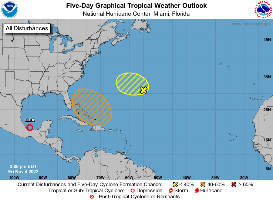
Weather forecasters are watching an area of disturbed weather which may develop into a large non-tropical low pressure system in the Atlantic Ocean east of Florida next week. While the National Hurricane Center says the area is expected to be disorganized at first, "It could begin to acquire subtropical or tropical characteristics during the early part next week."
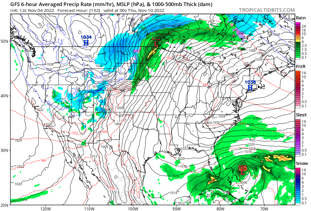
A tropical depression could form during the early to middle portion of next week while the system moves generally northwestward or westward over the Atlantic. The NHC gives it a "medium chance" — 40 percent — of formation through the five-day period Wednesday. If it does form and gets named, it would be Tropical Storm Nicole. The GFS (American) tropical model does show a weak system forming off the Florida east coast around Thursday, but since that is more than 120 hours (5 days) out, it's considered long-range and should be taken with a grain of salt.
What does that mean for us in Osceola County? Expect a higher chance of rain starting Tuesday — you may need an umbrella if you're heading out to vote on Election Day rather than early voting this weekend — and lasting through much of next week. Gusty winds and rough surf at the coast could accompany it. So, it won't exactly be "beach weather" next week.