The hurricane research team at Colorado State University, which offered up a tempered-down forecast of tropical cyclone activity before the start of the Atlantic hurricane season, have updated it with an even milder forecast. The CSU researchers have reduced their original forecast slightly and continue to call for a below-average Atlantic hurricane season with their updated 2026 projection.
CSU’s Tropical Cyclones, Radar, Atmospheric Modeling, and Software Team, in the Department of Atmospheric Science, cites the increased likelihood of a moderate to strong El Niño as a primary factor for the prediction of 11 named storms, of which they anticipate five to become hurricanes and two to become major hurricanes (Category 3+ on the Saffir-Simpson Hurricane Wind Scale).
These numbers are below the long-term seasonal average of 14, seven and three, respectively. For reference, the April forecast called for 13, six and two, respectively.
El Niño, a recurring climate pattern that is characterized by warmer than normal water in the eastern and central tropical Pacific, tends to increase upper-level westerly winds across the Caribbean into the tropical Atlantic. These winds result in increased vertical wind shear, which is unfavorable for Atlantic hurricane formation and intensification. Moderate to strong El Niño events generally have a stronger tropical Atlantic vertical wind shear impact than weak El Niño events, the research team noted.
“Given the marginal signals in the Atlantic and the increased likelihood for a moderate to strong El Niño, the CSU forecast team is now more confident in its prediction of a below-normal 2026 season,” the team shared in its mid-June forecast update.
Currently, waters in the western tropical Atlantic are near average, while they are cooler than normal in the central and eastern tropical Atlantic. Overall, current sea surface temperatures across the tropical and subtropical Atlantic present mixed signals for the hurricane season. While the eastern subtropical Atlantic is relatively warm, favoring above-normal Atlantic hurricane activity, the relatively cool waters in the eastern and central tropical Atlantic favor below-normal hurricane activity. Warmer water temperatures in the Atlantic favor an above-average season, since a hurricane’s fuel source is warm ocean water. Additionally, a warm Atlantic leads to lower atmospheric level pressure and a less stable atmosphere.
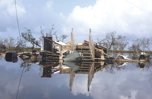
The team said it predicts that 2026 hurricane activity will be about 60% of the average season from 1991–2020. By comparison, 2025’s hurricane activity was about 105% of the average season. The most significant hurricane of the 2025 Atlantic hurricane season was Hurricane Melissa, which made landfall as a Category 5 hurricane in Jamaica, resulting in about $12 billion in damage and causing 93 fatalities across the Caribbean.
History shows that strong storms are still possible in El Niño years. Examples include Hurricane Andrew in 1992, which set the bar for destructive storms in South Florida
The CSU team will issue 2026 forecast additional updates on July 8 and Aug. 5.